


Lake Culture at the Driest Desert in North America

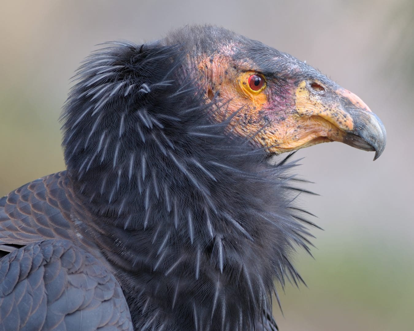
The California condor (Gymnogyps californianus) is an endangered New World vulture and the largest bird in North America. In the 1980s, the entire population of California condors was reduced to 22 birds. With the assistance of captive breeding programs, the condor was brought back from the brink of extinction. Captive-bred birds have been reintroduced to California, Arizona, Utah, and Baja California. There were more than 230 condors in the wild in 2013, but the bird’s recovery has been sluggish.
The extremely slow reproductive rate, usually one egg per clutch, and the fact that females don’t nest every year, prevents condor numbers from booming. Young condors are dependent upon their parents for as much as a year and can take 6 to 8 years to mature.
The Impact of Lead on Condor Reproduction
In addition to a slow reproductive rate, the condor’s susceptibility to lead poisoning caused by ingesting lead ammunition fragments, is a major impediment to establishing a viable wild population. Lead impairs the stress response, and elevated stress is known to interfere with avian reproduction.
When the war ended in 1865, George was emancipated. Just a 14-year-old boy, however, he stayed on at the ranch another three years, working with livestock and helping his father with blacksmithing. By 17, young McJunkin was ready to follow his dream of becoming a true cowboy. He left home alone and found work outside Comanche, Texas, riding on cattle drives. Next, he trained horses for Gideon Roberds, a former slave owner from Georgia, to sell along the Santa Fe Trail. McJunkin helped Roberds set up his permanent spread east of Trinidad, Colorado. The story goes that McJunkin taught Roberds’ boys, Emmett and Coke, how to break horses and, in exchange, they taught him to read.
By all accounts, McJunkin was hungry to learn: how to wrangle horses, to read, to speak Spanish, to play the violin, to find constellations in the night sky. Fascinated by natural sciences, he collected petrified wood, minerals, and bones to study.
As his reputation for hard work and excellent horsemanship grew, McJunkin was hired by Dr. Thomas Owen, a former Confederate Army officer and the first mayor of Trinidad, to work his Hereford Park ranch on the Dry Cimarron River.
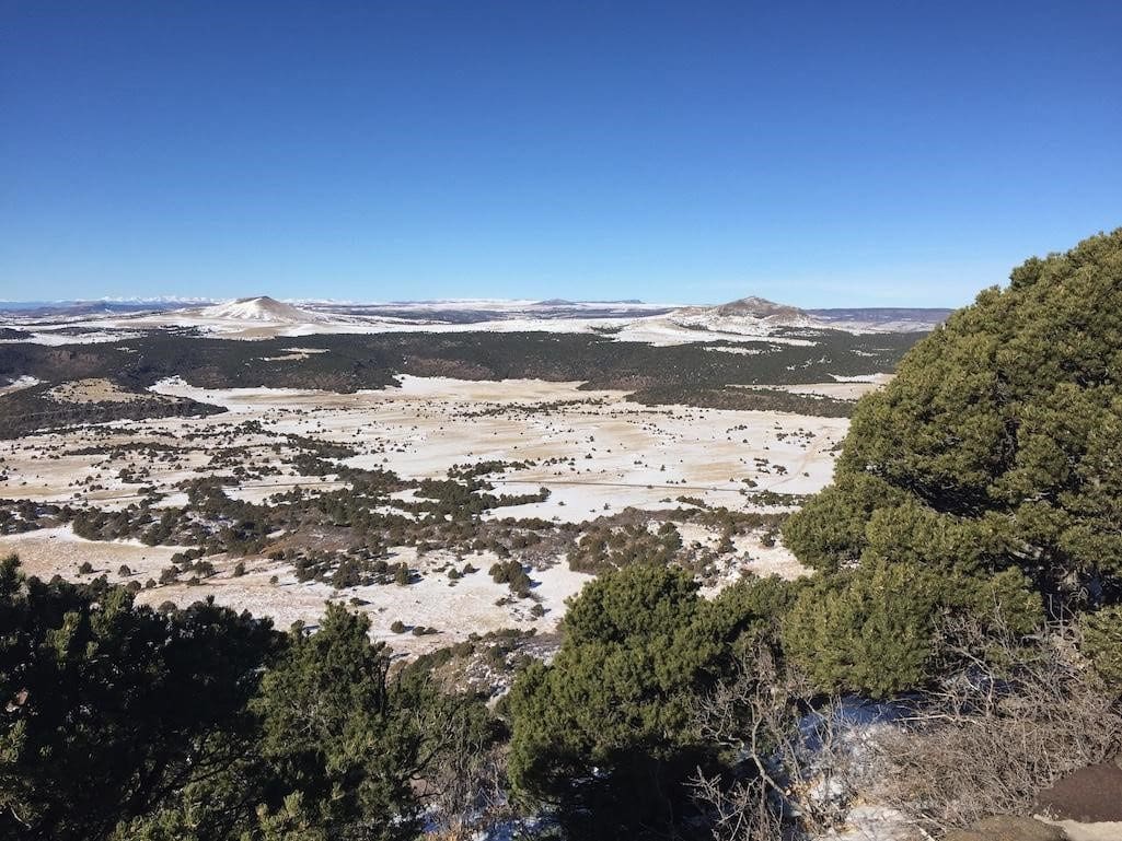
McJunkin had fallen in love with the Dry Cimarron area when he passed through on cattle and horse drives. According to the Folsom Museum, McJunkin climbed Capulin Volcano, taking in commanding views of broad grasslands from its summit, with the snowy peaks of the Sangre de Cristo Mountains to the west. He declared the area “my promised land,” a Biblical reference to Moses leading the Israelites from captivity to a land of their own, and freedom.
Stories abound of his courage and character. How he intervened to save a cavalry lieutenant outnumbered by bandits seeking the military payroll, and how the grateful army officer gave him a telescope in return, which McJunkin carried on his saddle. How he notified the sheriff when he found members of the Ketchum Gang, who had just robbed a train, camped nearby; a search of the campsite yielded a torn note listing their next destination, where they were swiftly apprehended. How, during a 10-day blizzard, he led 20 cowboys and what was left of their herds to safety. How, when Dr. Owen died suddenly, McJunkin helped Owen’s widow and young sons, Ben and Tom, work their ranch until the boys were old enough to take over.
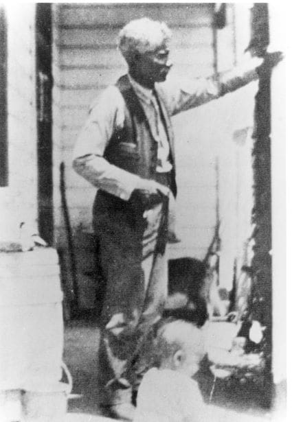
At the nearby Crowfoot Ranch, McJunkin was made ranch foreman, a rare position for a Black man in the 1890s. It was widely acknowledged that he was the best horseman and cowboy in the region. Black, white, and Hispanic cowboys all worked together under his direction.
McJunkin built himself a cabin on the Crowfoot Ranch, settling down at last. He hung shelves to display his collection of artifacts. With his telescope and a transom, he acted as local surveyor, establishing property lines and putting up fences. He bought his own herd of cattle. He played fiddle and guitar at local dances.
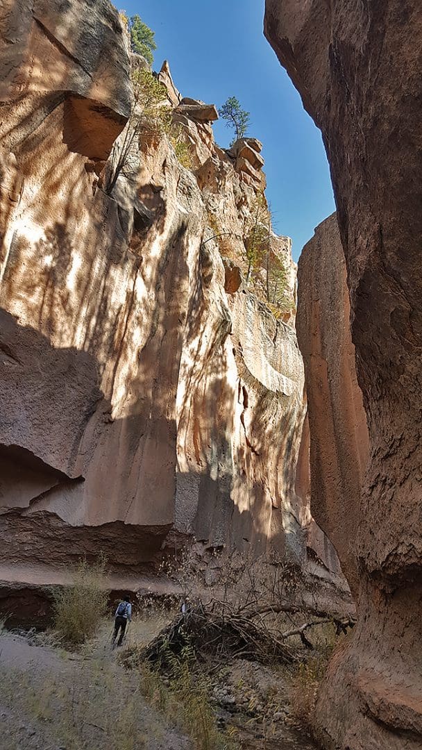
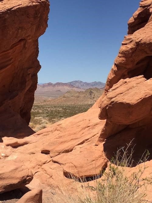
I could have followed the popular trails to Guadalupe Peak or El Capitan. Instead, I take the Tejas Trail, overlooking a steep canyon, called Devil’s Hall, up to Pine Top where I camp overnight among the piñons, with a spectacular view almost 3,000 feet above the surrounding plain. As the sun sets, I hear the pealing of an eagle, circling the heights. The next morning, I stand atop Hunter Peak, looking over the canyon toward Guadalupe Peak and El Capitan, able to clearly see the narrow trails zigzagging up their flanks. Hunter is the fifth-highest peak in Texas. A backpacker’s gear flashes in the morning sunlight from atop Guadalupe, but I have this side all to myself. Walking along the edge of The Bowl, I keep my eyes peeled for elk, then carefully descend Bear Canyon, the steepest trail in the park. No elk, no bears, and no crowds.
You can visit all of these hidden gems. With over 80 miles of trails winding through the area, day hikers can ascend the popular peaks or follow Devil’s Hall to a hidden spring; horseback riders can travel through former ranchland; campers can stay at Pine Springs or Dog Canyon,; and backpackers can journey through the heart of the Guadalupe Mountains. Just remember to bring plenty of water; the springs and waterholes are protected natural resources, just as they’ve always been.
As the trail rose, I listened to the elk’s high-pitched whistling voices ringing through the forest. They tend to crash their way heavily through the trees as they travel, so you can usually hear them nearby, and I kept my eyes and ears open. I walked past hillsides of tall, charred spikes of unidentifiable tree trunks standing next to green Ponderosa pines, their trunks blackened on one side, survivors of whichever fire took out their kin. New aspen had popped up like wildflowers on these cleared hills, even as their larger siblings stood lifeless within the burn scar. Often, I stepped off the trail to inspect their leaves, branches, and trunks, looking for the distinctive overlapping scales of the oystershells. Mostly I found elk scarring and thin shreds of bark or snapped twigs nibbled hastily and left hanging. On one tree, I noted distinctive parallel scratches from a bear’s claw — but no scale.
It was the same on the Alamo Boundary Trail and the Upper Frijoles Canyon Overlook Trail, all rich with young aspen growing up through stands of burned forest. Fire supports aspen regeneration, burning away competition for sunlight and soil nutrients. I marveled at the varied colors of the leaves, shimmering green, chartreuse, and gold in the sunlight. As the nights lengthen and the weather cools, the leaves’ green chlorophyll breaks down for the year, revealing yellowish carotenoids stored within the leaf cells, phytonutrients that help absorb sunlight for photosynthesis.
Here and there, rebel aspen trees blazed orange and red. Some aspen, responding to warm, sunny fall days and an excess of stored plant sugars, produce anthocyanins in the autumn, fiery red pigments that make the healthy trees appear to be burning anew beside their golden neighbors, eye-catching between the tall blackened stumps and standing evergreens.
As I walked the return loop from Upper Frijoles Canyon in the late afternoon, I stepped toward a young aspen grove and then suddenly jumped back. Something very large, screened by the stand of trees, had huffed loudly above my head, it’s voice ending with a squeaky, squealing wheeze. Then it wheeled and pounded away, crashing deeper into the forest.
I let out a sigh of relief. It’s breathtaking, and exhilarating, hiking in the New Mexico mountains in the autumn chill. Light snow began to fall as twilight settled over the high hills. For now, the aspen in Bandelier National Monument seem to be holding their own, colors burning brightly on the steep slopes, dodging invasive scale and surviving extreme drought, ongoing wildfires, and hungry elk.
I think about his point of view later on as I launch my kayak at Willow Beach. I’m paddling up the 30-mile Black Canyon National Water Trail, heading upstream on the Colorado River between Lake Mojave and Lake Mead and through the edge of the Black Canyon Wilderness. It’s one of the designated quiet days on this stretch of river: no motorized boats allowed. The first hours of my solo trip are meditative as I listen to warblers in the bushes on the banks, watching for desert bighorns on the cliffs above, then spying on huge fish lazily swimming below. The water often shimmers in spectacular citrus hues of green and yellow as sunlight reflects off the submerged rocks. Other people in single and double kayaks paddle along ahead of me and behind me, and I can hear the murmur of their friendly conversations. Midday, we pull up onto various small beaches along the river for lunch; laughter rings out across the water.
By late afternoon, I am returning downstream when I hear a commotion around the bend near Emerald Cave. Oars joined across their awkwardly aligned boats, a group of college-age young people in five or six canoes have linked up, passing unidentifiable beverages from their coolers while loudly discussing whether or not they can access the cave. A young couple in another canoe paddles nearby.
“Join us! Join us! Welcome to Canoe-palooza!” the group calls out. The couple laughs, then paddles over, much to the shouted delight of the cheering, genial crew. I float past, laughing and shaking my head as Canoe-palooza breaks into muddled song, their joy echoing off the canyon walls. River culture is much like lake culture, it seems.
What to do about Lake Mead National Recreation Area, this shrinking oasis in the desert? Below Lake Mojave, the Colorado River barely flows toward Mexico, a trickle that already often runs dry. Invasive species like quagga mussels and New Zealand mud snails have hitchhiked here on contaminated boats; they’re found in the river now, not just the lakes, upsetting the balance of an ecosystem we created that depends on us to find solutions. After all, much as we love to get together at Lake Mead, human beings are clearly the most invasive species in the Mojave Desert.
